W.P. Franklin South Recreation Area
12 mi northeast · US Army Corps of Engineers
WP Franklin South Recreation Area is a day use area located on the Caloosahatchee River adjacent to the WP Franklin Lock and Dam.
Outdoors
Day-use and picnic areas near Fort Myers on public land, from quick drives to full-day outings.
Good to know: Group picnic sites can often be reserved; fire rules change with the season, so check before bringing a grill.
12 mi northeast · US Army Corps of Engineers
WP Franklin South Recreation Area is a day use area located on the Caloosahatchee River adjacent to the WP Franklin Lock and Dam.
58 mi east · US Army Corps of Engineers
As lake, waterway and surrounding countryside, Okeechobee shows the many faces of Florida. A canopy of moss-draped live oaks hides clusters of sabal palms. A tangle of water plants marks the boundary where wetland meets lakeshore.
66 mi southeast · National Park Service
The freshwaters of the Big Cypress Swamp, essential to the health of the neighboring Everglades, support the rich marine estuaries along Florida's southwest coast.
Map of 7 places loads as you scroll.
WP Franklin South Recreation Area is a day use area located on the Caloosahatchee River adjacent to the WP Franklin Lock and Dam.
As lake, waterway and surrounding countryside, Okeechobee shows the many faces of Florida. A canopy of moss-draped live oaks hides clusters of sabal palms. A tangle of water plants marks the boundary where wetland meets lakeshore.
The freshwaters of the Big Cypress Swamp, essential to the health of the neighboring Everglades, support the rich marine estuaries along Florida's southwest coast.
Established in 1947 as the first national park created for its biodiversity, Everglades National Park protects 1.5 million acres of wetland, forest, and marine habitats and the native plants and animals that call it home.
The Jupiter Inlet Lighthouse Outstanding Natural Area (ONA) is part of the Bureau of Land Management’s 27-million acre National Conservation Lands; and the only complete unit east of the Mississippi River.
Boca Chita Key is only accessible by boat. No services are available on the island. Boca Chita Key is the park's most popular island. It features beautiful waterfront views, a grassy camping area, picnic tables and grills.
Eliott Key is only accessible by boat. No services are available on the island. Elliott Key is the park's largest island. Restrooms with sinks and cold water showers, picnic tables and grills are available.
Distances are straight-line miles from downtown Fort Myers. Listings come from Recreation.gov’s federal recreation database; check each official page for hours, fees, fire restrictions and closures before you go.
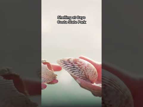
THINGS TO DO · YOUTUBE SHORT
A local activity Short shared by Matador Network.
Watch on YouTube ↗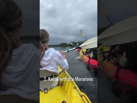
THINGS TO DO · YOUTUBE SHORT
A local activity Short shared by Moving to Fort Myers Florida with Chelsea Robinson.
Watch on YouTube ↗


W.P. Franklin South Recreation Area (US Army Corps of Engineers), about 12 miles northeast of Fort Myers as the crow flies. Next are Lake Okeechobee (58 mi) and Big Cypress National Preserve (66 mi).
Based on Fort Myers’s average highs, October–April. Conditions at higher elevations can be much cooler.
Federal agencies including National Park Service, US Army Corps of Engineers, Bureau of Land Management. Each listing links to its official page for hours, fees, closures and current conditions.